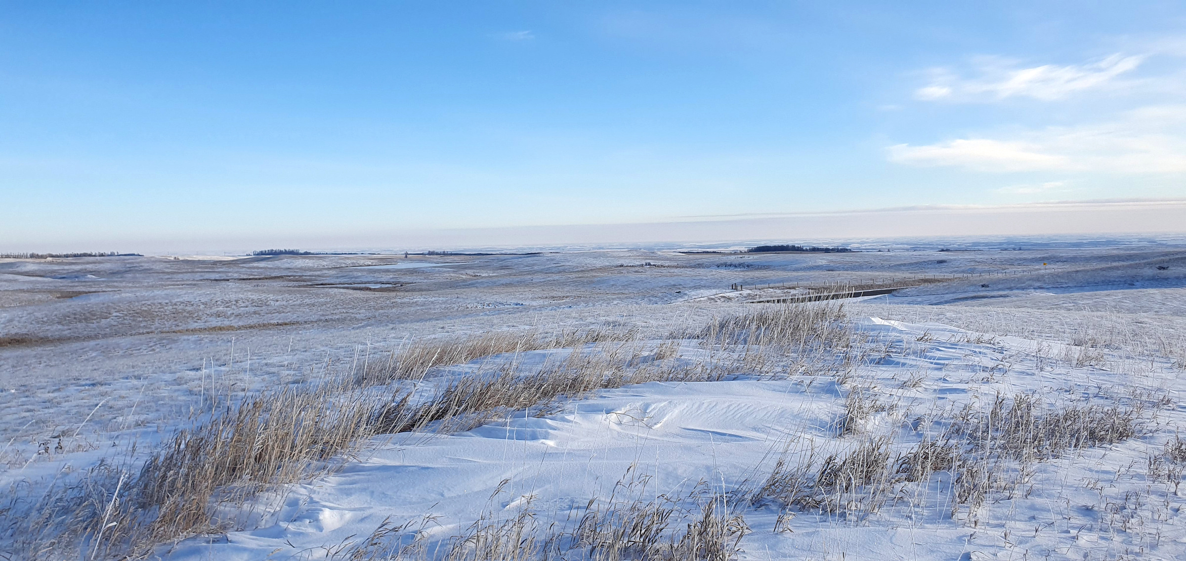
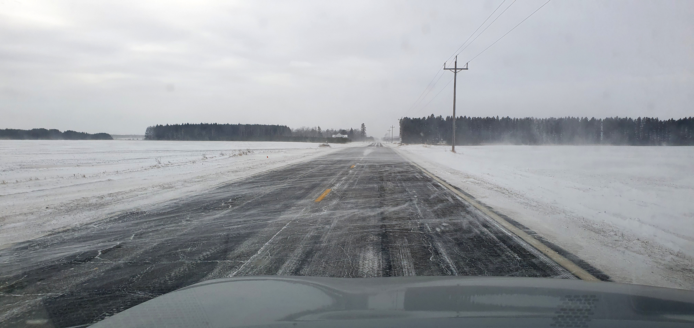
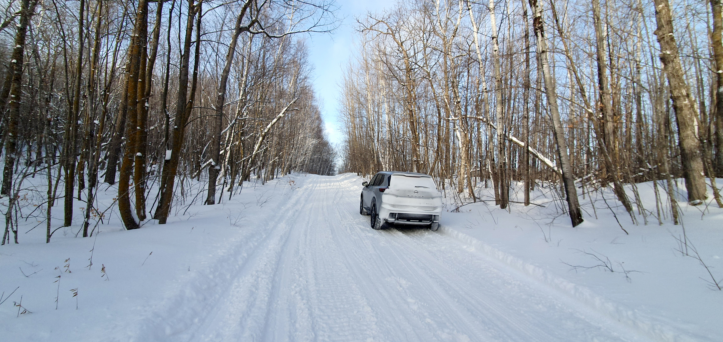
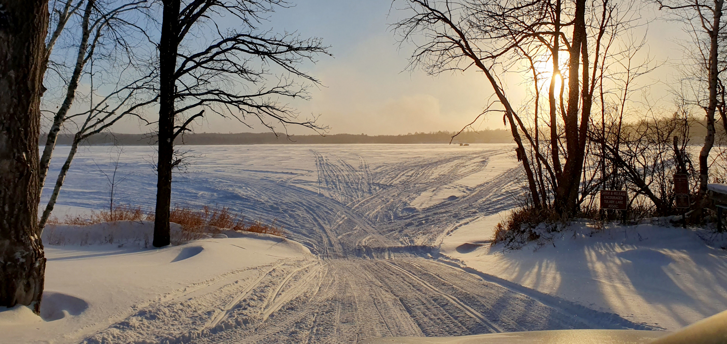
I spent most of January and February working in Minnesota and made the best of my weekends, mostly concentrating on isolation peaks (isolation is the distance from a summit to the next highest piece of land). More isolated peaks (50mi+) aren’t as numerous as one might think, and there are only 39 in the contiguous states that have 100mi of isolation or more. Most of these mean a lot of driving with very little actual hiking, which I was fine with since temps were often below zero, and sometimes in the -30s with windchill. Some of these “peaks” aren’t really peaks at all, just bumps in the middle of nowhere, a testament to how flat the surroundings are.
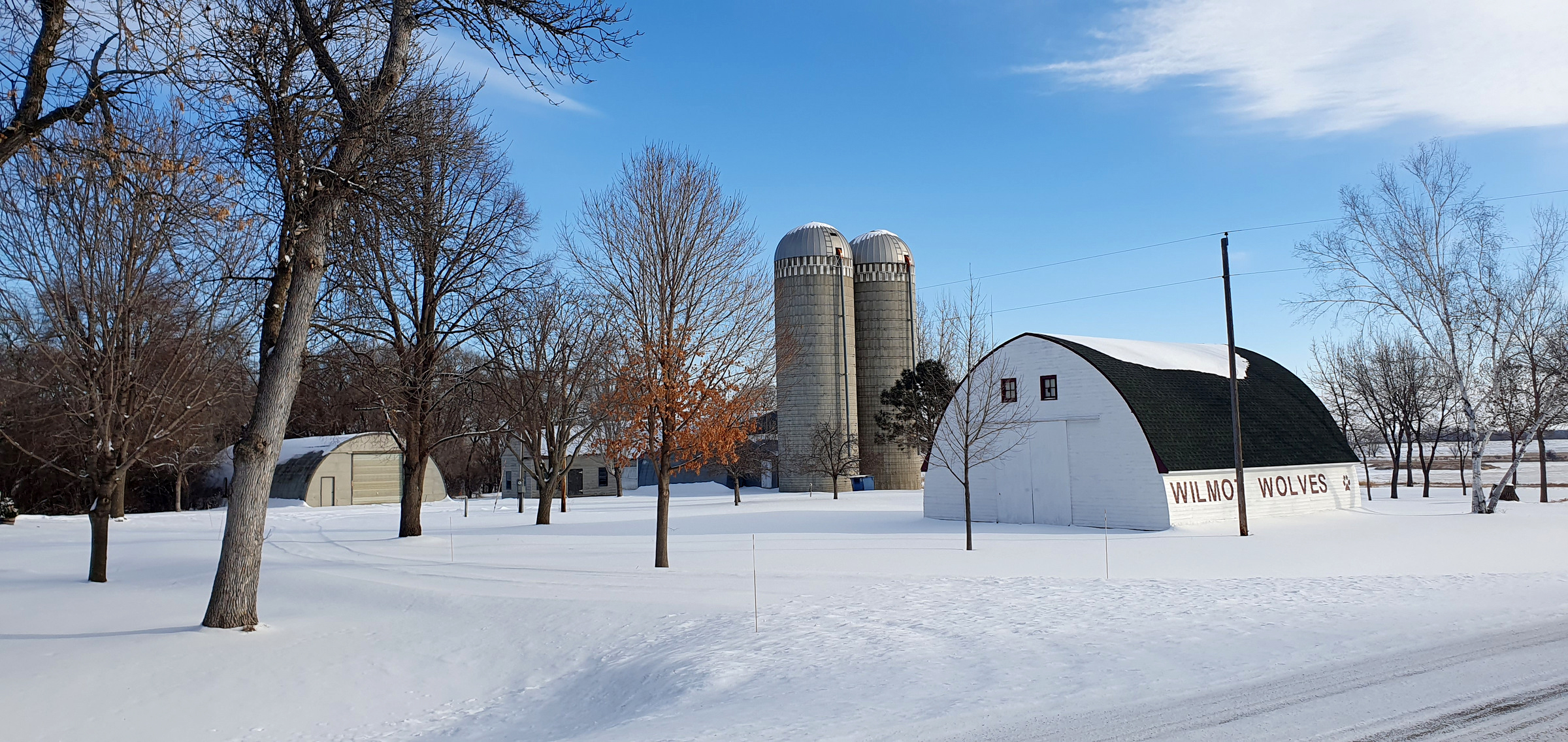
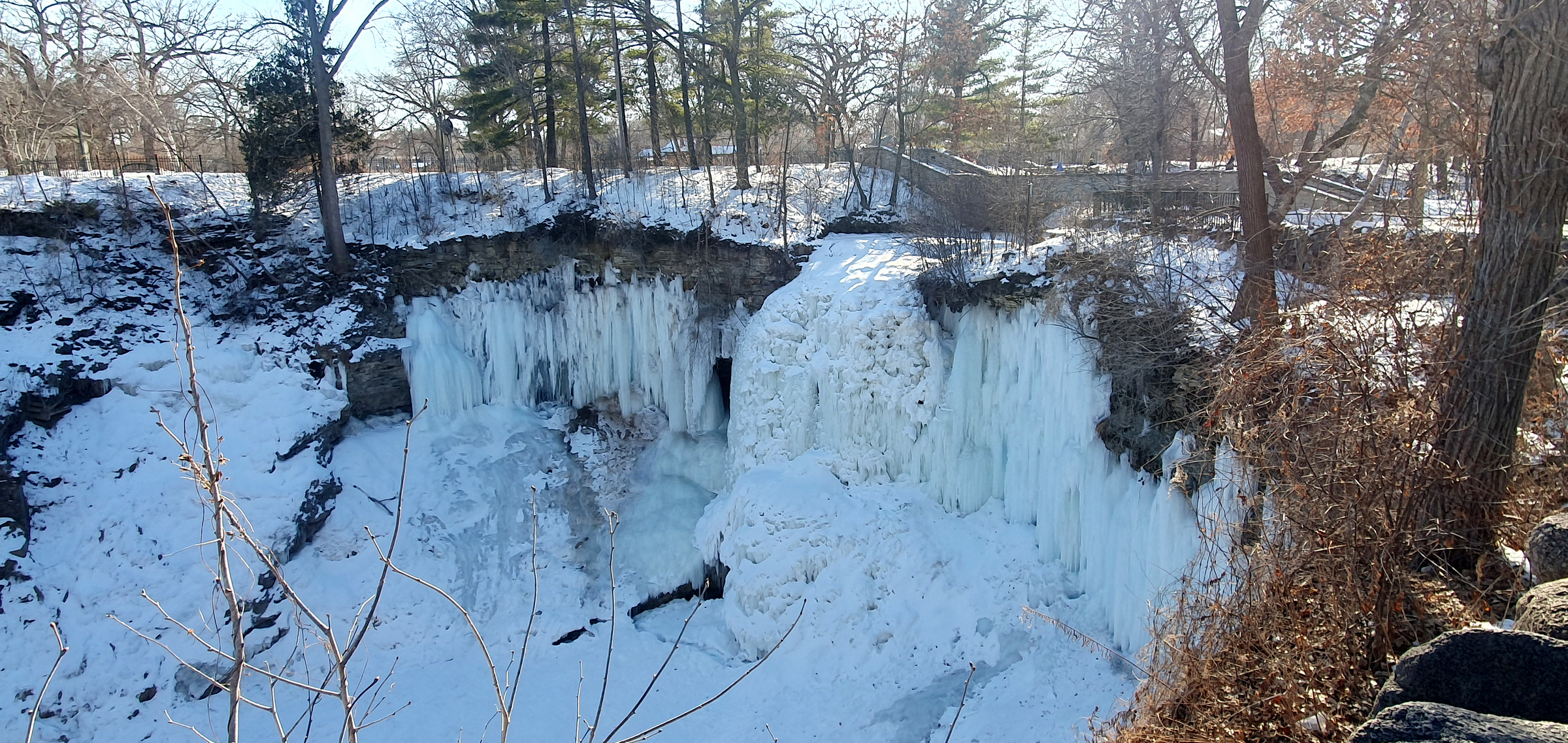
Along with the isolation peaks I had some other fun – ice fishing in Minnesota, visiting childhood friends in Viroqua, exploring St Louis, visiting family in small town Illinois, and some other hikes as well. I put over 4000 miles on my rental cars and saw quite a bit of the midwest. I had a great time working and exploring theses last months. Here’s some of what I got to:
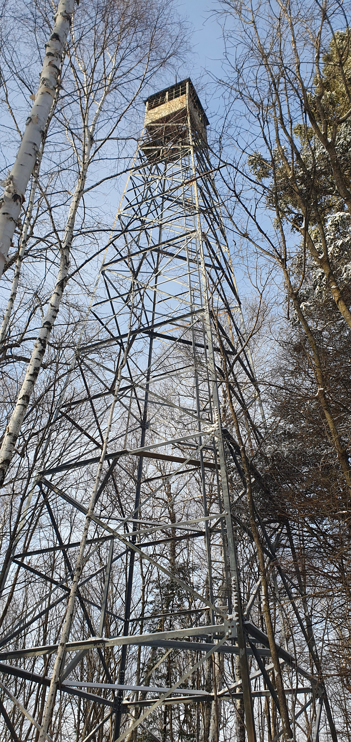
Height of Land Lookout (MN) – 133mi isolation
Sugarbush Hill (WI) – 66mi isolation
Blue Mounds (WI) – 130mi isolation
Pilot Knob (IA) – 64mi isolation
Carroll County High Point (IA) – 78mi isolation
Roberts County High Point (SD) – 93mi isolation
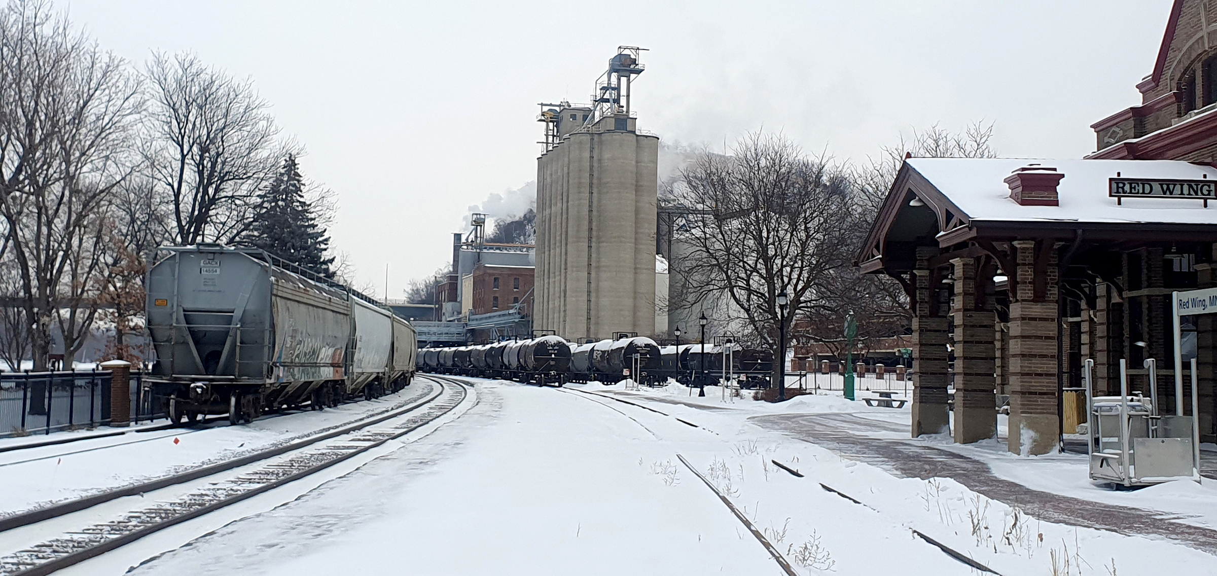
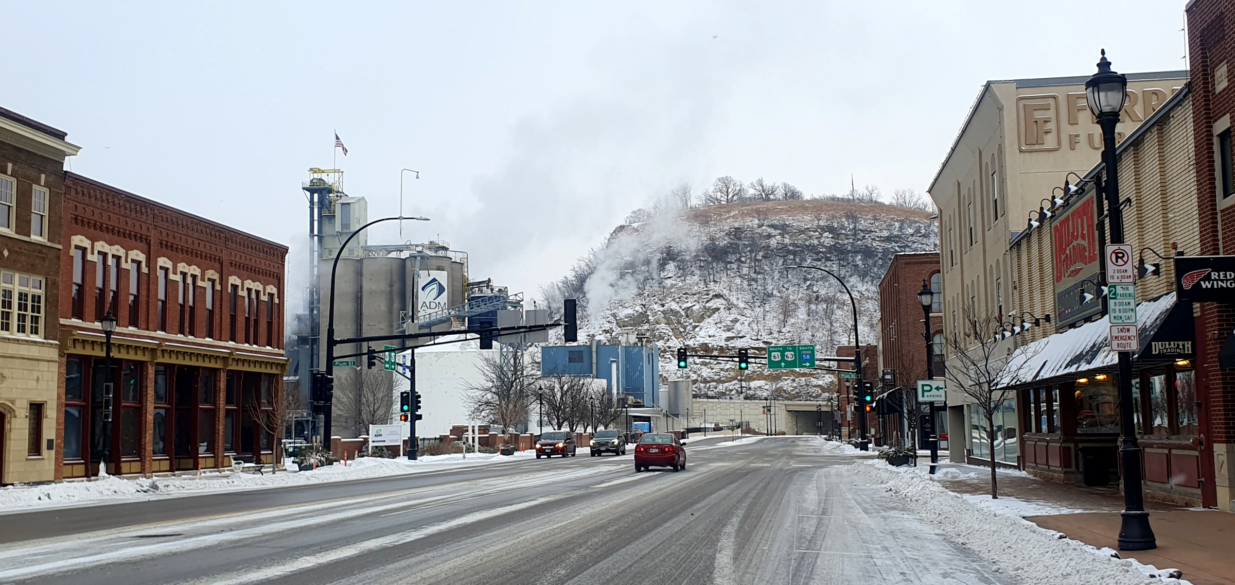
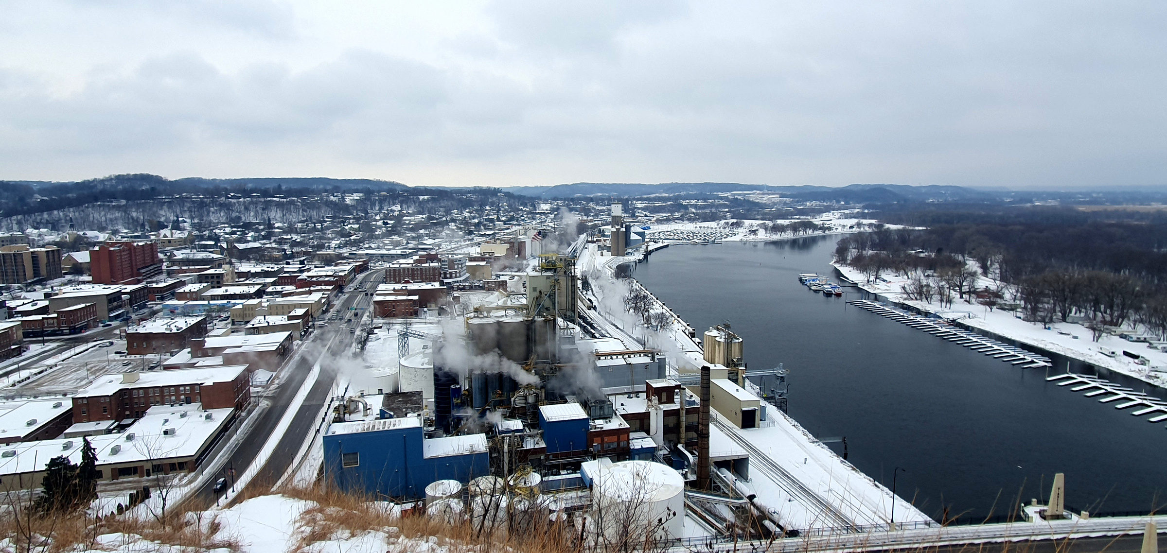
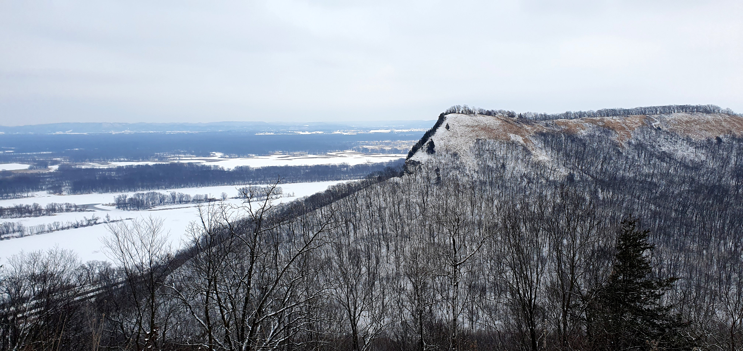
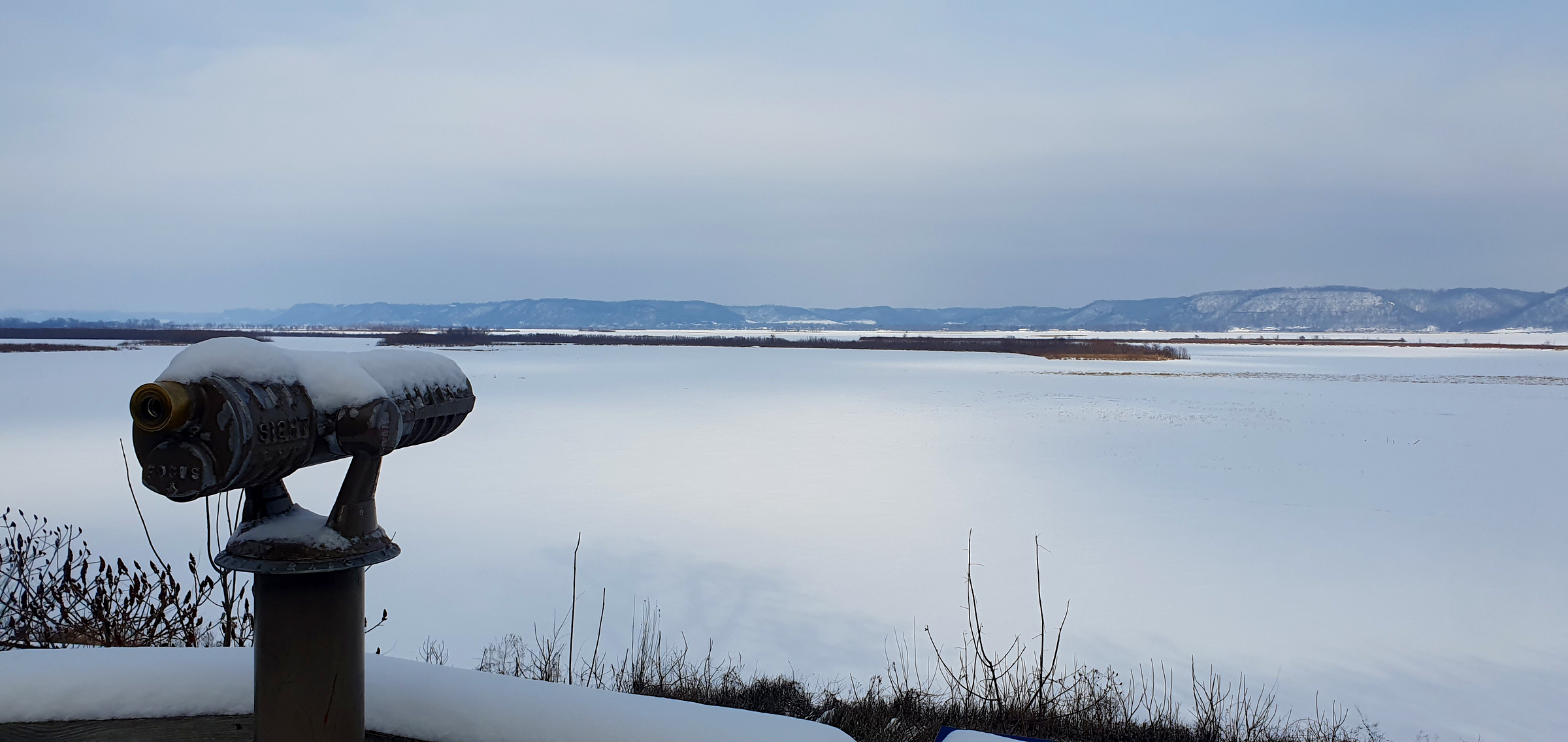
Peaks along the Mississippi River – Barn Bluff, Charity Bluff, Kings Bluff, and exploring Redwing (MN)
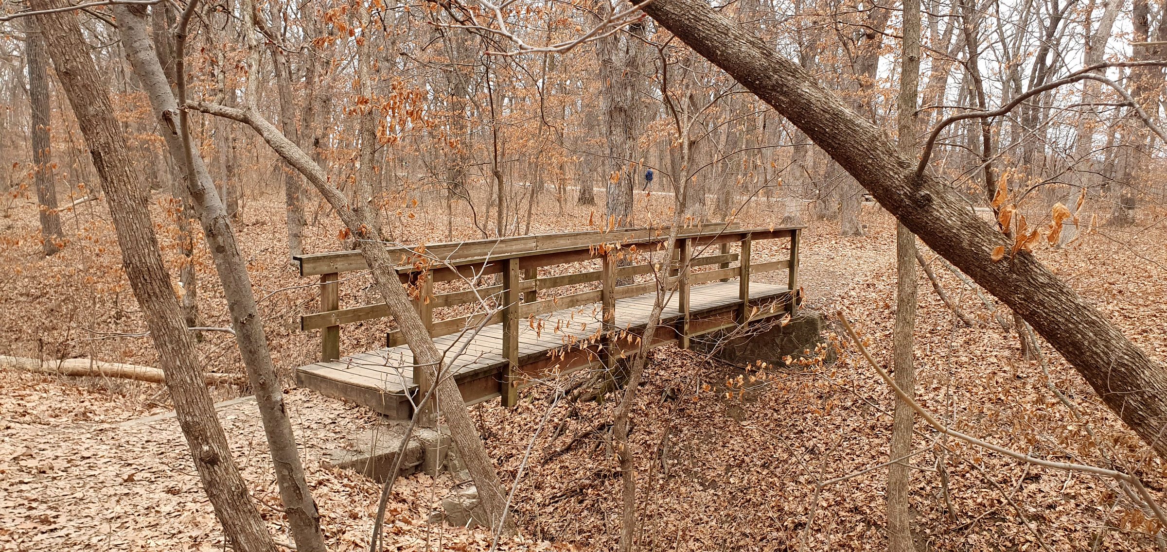
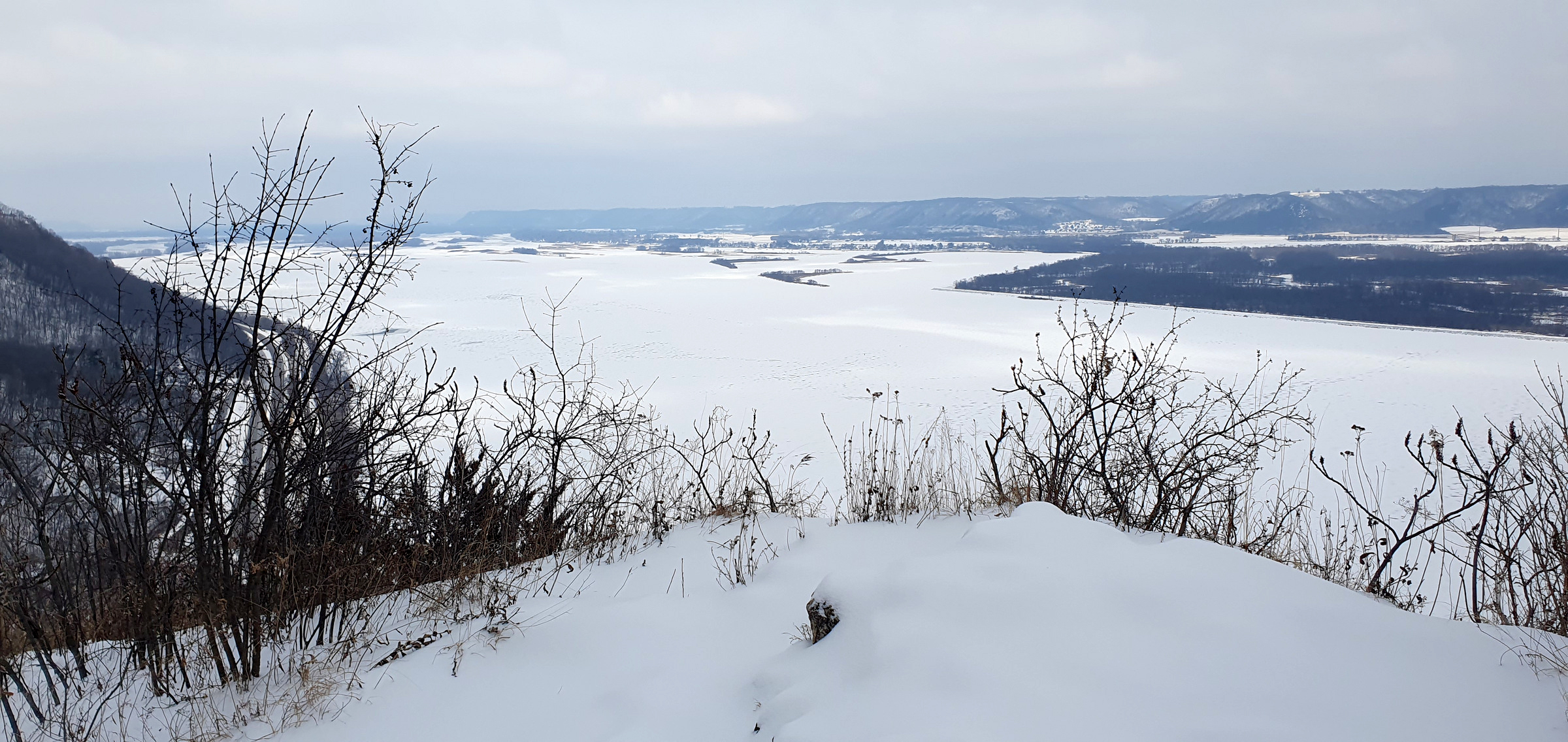
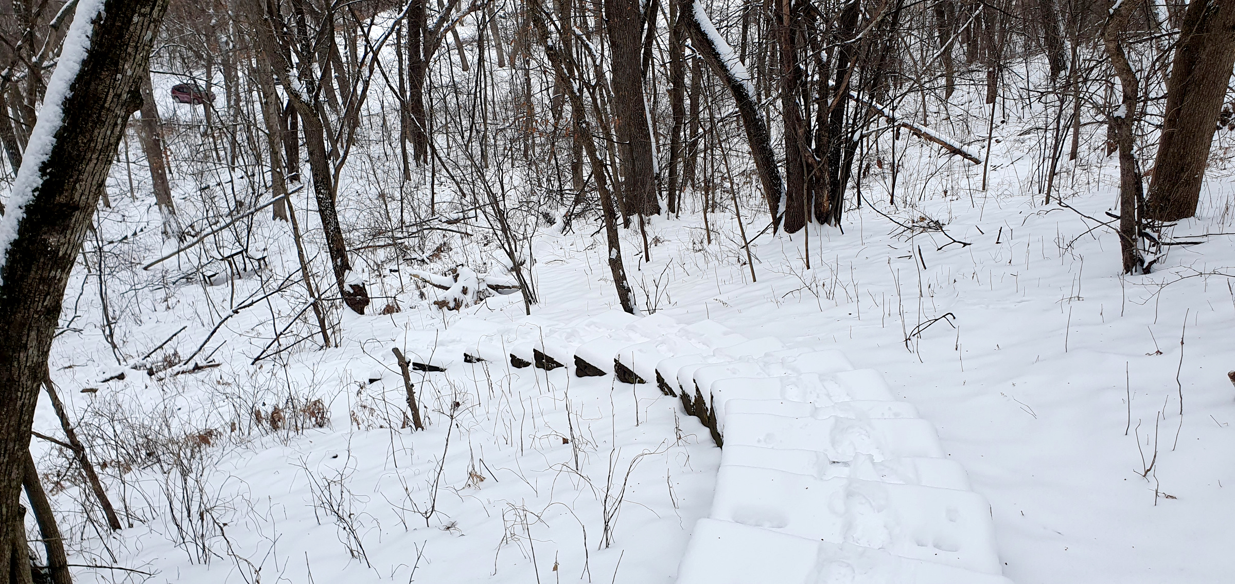
Perrot Ridge, Brady’s Bluff, Trempealau Mountain in Perrot State Park (WI)
McClean County High Point (IL) -86 mi isolation
Buffalo Knob (MO) – 69mi isolation
Gateway Arch National Park and St Louis
Williams Hill (IL) – 91mi isolation